SeaBedNSW Mapping
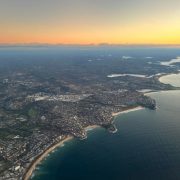
The NSW Department of Planning and Environment has released SeaBedNSW mapping. A free online platform for stakeholders and communities to explore the seabed adjacent to our beaches. The online maps cover the entire state coastline including sea floor depths of up to 35m. They provide detail on sea floor habitat and the data is intended to inform coastal and marine management.


